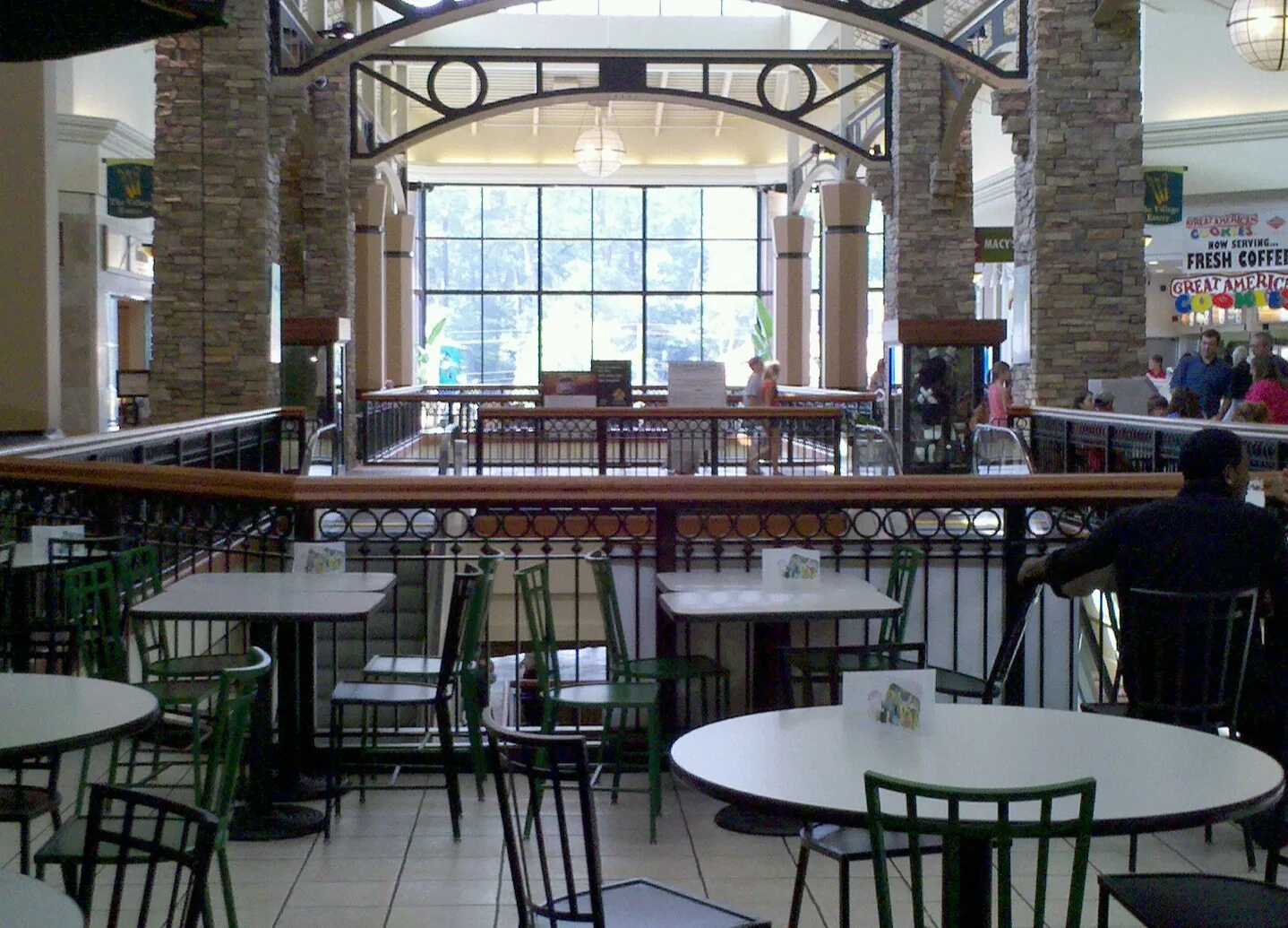
The Brookwood Village area, at U.S. 280 and Lakeshore Drive, takes in the mall, Brookwood Medical Center and nearby streets, all zoned for Shades Cahaba.
Last checked Oct. 17, 2026. Sources: the City of Homewood’s Brookwood mall announcement, the city’s comprehensive plan update, the city’s address and school zone map layers, the state’s report card, Zillow Research, MAX Transit and OpenStreetMap.
Brookwood Village is the mall at Lakeshore Drive and U.S. 280, on the line between Homewood and Mountain Brook. On this page the name stands for the district around it in Homewood: the mall and Target, Brookwood Medical Center, the offices along Shades Creek Parkway and the residential streets west of them, toward Independence Drive.
What this means for you
- Zoned high school: Homewood High; elementary is Shades Cahaba for every address point here.
- Home value: $536,460 in ZIP 35209 in September 2026, according to the Zillow Home Value Index.
- Main highway: U.S. 280, with MAX Route 280 along it.
Part of our Homewood neighborhoods guide.
Where it is
The draft growth and conservation map in the city’s July 22, 2026, comprehensive plan workshop (PDF) lists “Brookwood Village and offices,” with Wildwood and Green Springs, among the “Areas to Transform,” meant to “reimagine the development pattern for underutilized property.” It lists Hugh Circle, a street in this area, among the “Areas to Enhance,” where it would allow “additional housing options.” The plan is still a draft.
In December 2024 the City Council approved an agreement with Mountain Brook on the mall’s redevelopment. The city said Homewood owns just over 50% of the property, Mountain Brook around 40% and Jefferson County close to 10%, the county’s share relating to taxes. The agreement covers the mall property only, not Target or the office buildings, and commits the two cities to decide together once they receive the developer’s plans.
On this page the area is the south end of the city’s Ward 5, south of about Shades Creek Parkway and east of Independence Drive. The streets with the most address points are Edgehill Road, Durham Drive, Yorkshire Drive, Independence Drive, Rumson Road, Devon Drive, Brookwood Village and Shades Creek Parkway. Every Homewood address point here is in ZIP code 35209.
Schools
All 243 address points are zoned for Shades Cahaba Elementary in the city’s school zone layer, checked Oct. 17. Grades are from the state’s 2024-25 report card.
| Level | School | Share of address points | 2024-25 grade |
|---|---|---|---|
| High | Homewood High | 100% | A (94) |
| Middle | Homewood Middle | 100% | A (97) |
| Elementary | Shades Cahaba Elementary, 3001 Independence Drive | 100% | A (99) |
Addresses on the Mountain Brook side of the line are in Mountain Brook City Schools, not Homewood. Check one address with the district’s school locator map and confirm with residency and enrollment at 205-870-2011. More in our schools guide.
Home values
The typical home value in ZIP 35209 was $536,460 in September 2026, up 6.70% from $502,785 in September 2025, according to the Zillow Home Value Index. The index is a modeled typical value for the middle third of homes, not a sale price, and it covers the whole ZIP code. The citywide Homewood figure was $568,543, up 6.59%. Across U.S. 280, Mountain Brook’s ZIP 35223 was $913,628. More in our home prices guide.
Parks and trails
The city’s green spaces layer shows no city park inside the area. The nearest are Homewood Preserve, a city green space by Samford to the southwest, and the Shades Creek Greenway, reached from the soccer park at 1800 S. Lakeshore Drive. More in our parks and trails guide.
Getting around
- U.S. 280: the highway runs along the area’s east side. MAX Route 280 runs along it between Central Station, UAB, Five Points South and The Summit.
- Lakeshore Drive and Shades Creek Parkway are Alabama 149 here, by OpenStreetMap’s route numbers, and lead west to Samford and Interstate 65 at exit 255.
- City Hall: about 1.3 miles from the middle of the area by road.
- Airport: about 8.4 miles to Birmingham-Shuttlesworth International Airport. Both are road distances measured on the OpenStreetMap network with the OSRM routing engine, not drive times.
- MAX On-Demand: rides anywhere in the Homewood city limits for $1.50 a trip, in the MAX Connect app.
More in our getting around guide.
Groceries and everyday stores
From OpenStreetMap:
- Target, 531 Brookwood Village
- The Fresh Market, by Brookwood Village
- Publix, 1000 Jemison Lane, just outside Homewood city limits
How we drew this area
Brookwood Village is named by the draft comprehensive plan map and the city’s mall announcement. Its edges here are ours: the part of Ward 5 in the city’s five-ward map layer south of about Shades Creek Parkway and east of Independence Drive. School shares are from every city address point inside those edges, checked Oct. 17, 2026. Store locations are © OpenStreetMap contributors.
Frequently asked questions
Is Brookwood Village in Homewood or Mountain Brook?
Both. The city of Homewood says it holds just over 50% of the mall property and Mountain Brook about 40%, with Jefferson County’s share of close to 10% tied to taxes. The two cities agreed in December 2024 to work together on the mall’s redevelopment.
What school is the Brookwood Village area zoned for?
Shades Cahaba Elementary, for every Homewood address point in the area as we drew it, then Homewood Middle and Homewood High.
What is happening to Brookwood Village mall?
Homewood and Mountain Brook signed an agreement in December 2024 to decide together on the developer’s future plans for the mall. The agreement leaves out Target and the office buildings. The city’s draft comprehensive plan map lists Brookwood Village among its Areas to Transform.
What stores are at Brookwood Village?
OpenStreetMap lists Target at 531 Brookwood Village and The Fresh Market nearby. Publix at 1000 Jemison Lane is just outside Homewood city limits.
Have your say