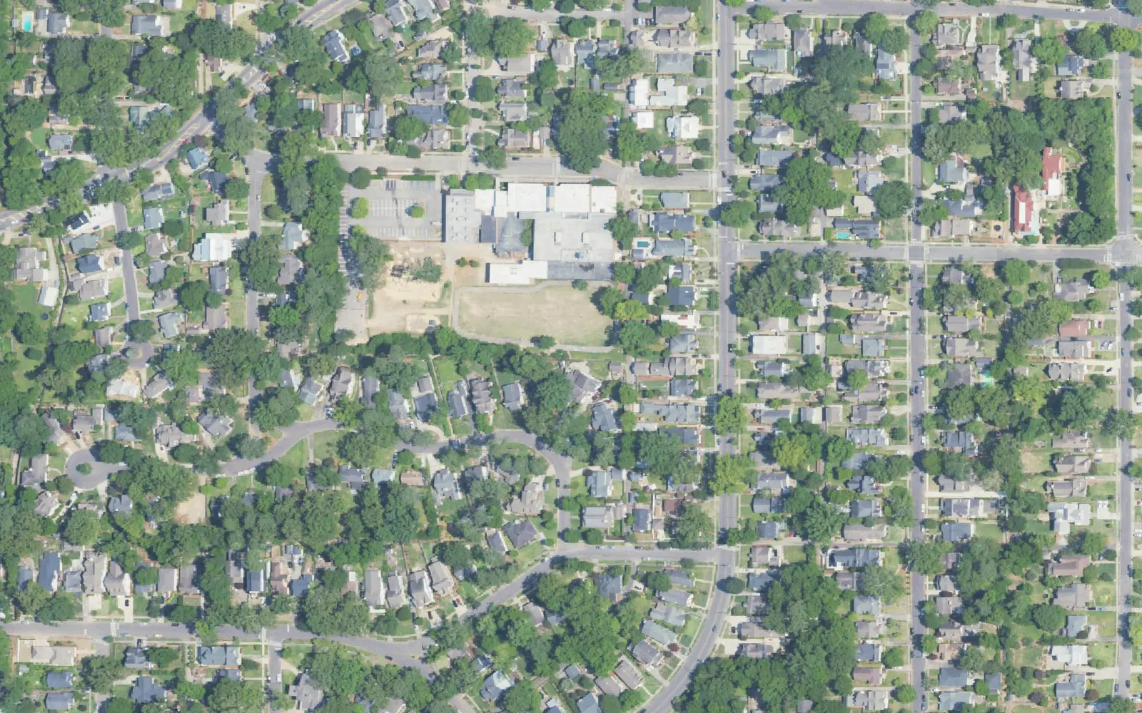
Edgewood, one of the three villages that formed Homewood in 1926, is in ZIP 35209. Zillow's typical value there was $536,460 in September 2026.
Last checked Oct. 17, 2026. Sources: the City of Homewood’s history page, the Homewood Historic Preservation Commission’s neighborhoods tour, the city’s comprehensive plan update, the city’s address and school zone map layers, the Alabama State Department of Education’s report card, Zillow Research and OpenStreetMap.
Edgewood is one of the three villages that voted in September 1926 to incorporate as Homewood, along with Rosedale and Grove Park, the city’s history page says. It saw the most development of the three: an electric railway ran from Edgewood to downtown Birmingham by 1911, and a man-made lake was built by 1915. Today it is a grid of older homes around Oxmoor Road and Broadway Street, with a small business district of its own.
What this means for you
- Zoned high school: Homewood High, for every Homewood address. Elementary is split; check yours with the district’s school locator map.
- Home value: $536,460 in ZIP 35209 in September 2026, according to the Zillow Home Value Index.
- Nearest I-65 exits: 255 (Lakeshore Drive) and 256 (Oxmoor Road), on the west side.
Part of our Homewood neighborhoods guide.
Where it is
Edgewood is Ward 3 in the Historic Preservation Commission’s driving tour of Homewood’s historic wards, which starts it “near the junction of Oxmoor Road and Broadway.” The tour’s stops here include Edgewood Lake and the Edgewood Electric Railway.
On this page the area is the city’s Ward 3 as drawn in the city’s five-ward map layer: the streets between Green Springs Highway on the west and the Mayfair and Lakeshore areas on the east, from Oxmoor Road south toward Lakeshore Drive. The streets with the most address points are Broadway Street, Hickory Knoll, Forrest Drive, Green Springs Highway, Oxmoor Road, Woodland Drive and Columbiana Road. Every address here is in ZIP code 35209 and inside city limits, so the city provides police, fire and trash service.
The draft growth and conservation map in the city’s July 22, 2026, comprehensive plan workshop (PDF) puts residential Edgewood among the “Areas to Protect,” meant “to protect and maintain the existing character of established residential areas.” It puts the Edgewood commercial village, with downtown, among the “Areas to Strengthen,” the city’s hubs for shopping, dining and jobs. The plan is still being written; the city’s current comprehensive plan dates from 2007.
Schools
Every Homewood address is served by Homewood City Schools. Of the 2,027 address points in Edgewood as we drew it, this is how the elementary zones split in the city’s school zone layer on Oct. 17. Grades are from the state’s 2024-25 report card.
| Level | School | Share of address points | 2024-25 grade |
|---|---|---|---|
| High | Homewood High | 100% | A (94) |
| Middle | Homewood Middle | 100% | A (97) |
| Elementary | Edgewood Elementary, 901 College Ave. | 62% | A (100) |
| Elementary | Hall-Kent Elementary, 213 Hall Ave. | 38% | A (96) |
The city’s Green Springs project page notes that several homes on the east side of Green Springs Highway are zoned for Hall-Kent, across the highway. The district says its locator map is not legally binding; confirm with residency and enrollment at 205-870-2011. More in our schools guide.
Home values
The typical home value in ZIP 35209 was $536,460 in September 2026, up 6.70% from $502,785 in September 2025, according to the Zillow Home Value Index. The index is a modeled typical value for the middle third of homes, not a sale price, and it covers the whole ZIP code, which takes in most of Homewood. The citywide Homewood figure was $568,543, up 6.59%. More in our home prices guide.
Parks and trails
- Woodland Park, 429 Woodland Drive, a neighborhood park open sunrise to sunset, according to Homewood Parks.
- Central Park, 1632 Oxmoor Road, a short way up Oxmoor Road: the Central Pool, a large playground, an amphitheater and walking paths.
- Shades Creek Greenway, reached from the soccer park at 1800 S. Lakeshore Drive, south of the area.
More in our parks and trails guide.
Getting around
- Interstate 65: exits 255 (Lakeshore Drive and Lakeshore Parkway) and 256 (Oxmoor Road) are closest, by the exit numbers in OpenStreetMap.
- City Hall: about 2.3 miles from the middle of the area by road.
- Airport: about 10.4 miles to Birmingham-Shuttlesworth International Airport. Both are road distances measured on the OpenStreetMap network with the OSRM routing engine, not drive times.
- Transit: MAX On-Demand rides anywhere in the city limits for $1.50 a trip, booked in the MAX Connect app.
- Parking: the Dawson Baptist Church deck adds more than 300 public spaces for the business district, open 7 a.m. to midnight Monday through Saturday, the city says. In 2025 the city added 29 parallel spaces on Oxmoor Road between Dale Avenue and Evergreen Avenue.
More in our getting around guide.
Street projects
- Stormwater: on Oct. 7, 2026, the city received $250,000 in federal money to expand culverts in the neighborhoods around Edgewood Elementary to reduce street flooding.
- Traffic calming: speed cushions were proposed for Hambaugh Avenue and Dixon Avenue, with a City Council vote set for Oct. 12, the city said.
Groceries and everyday stores
From OpenStreetMap, along Green Springs Highway on the area’s west edge:
- Publix, with a pharmacy, 411 Green Springs Highway
- ALDI, 428 Green Springs Highway
- Mediterranean Foods, 430 Green Springs Highway
How we drew this area
Edgewood is named by the city’s history page, the Historic Preservation Commission’s tour and the draft comprehensive plan map. Its edges here follow the city’s five-ward map layer, whose Ward 3 is the tour’s Edgewood ward, less 90 address points in ZIP 35226 that we count with Forest Brook. School shares are from every city address point inside those edges, checked Oct. 17, 2026. Store locations are © OpenStreetMap contributors.
Frequently asked questions
What elementary school is Edgewood in Homewood zoned for?
Mostly Edgewood Elementary. Of the city’s address points in Edgewood as we drew it, 62% are zoned for Edgewood Elementary and 38%, mainly toward Green Springs Highway, for Hall-Kent Elementary. Every Homewood address goes to Homewood Middle and Homewood High.
Is Edgewood a good place to live?
Here are the facts. Edgewood is the part of Homewood around Oxmoor Road and Broadway Street in ZIP 35209, with Woodland Park and the Edgewood business district. Homewood High earned an A (94) on the state’s 2024-25 report card, and Zillow put the typical home value in 35209 at $536,460 in September 2026.
What ZIP code is Edgewood, Homewood?
- Every Edgewood address point in the city’s address map uses it.
Where can I park in the Edgewood business district?
Floors 2, 3 and 4 of the Dawson Baptist Church parking deck are open to the public 7 a.m. to midnight, Monday through Saturday, the city says, and Oxmoor Road between Dale Avenue and Evergreen Avenue has parallel parking.
Have your say