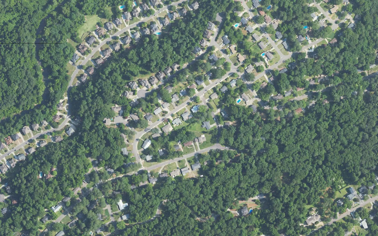
Forest Brook and Huntington Park, on Homewood's south edge, are the city's ZIP 35226 streets. Zillow's typical value there was $436,667 in September 2026.
Last checked Oct. 17, 2026. Sources: the city’s comprehensive plan update, the city’s address and school zone map layers, the state’s report card, Zillow Research and OpenStreetMap.
Forest Brook and Huntington Park are the residential streets on Homewood’s south edge, on the wooded slope south of Lakeshore Parkway. They are the only part of the city that uses ZIP code 35226, a ZIP code Zillow files under Hoover. The city’s address map places them inside Homewood, served by Homewood City Schools.
What this means for you
- Zoned high school: Homewood High; elementary is Hall-Kent for every address point here.
- Home value: $436,667 in ZIP 35226 in September 2026, according to the Zillow Home Value Index, which files the ZIP under Hoover.
- Nearest I-65 exit: exit 254, Alford Avenue.
Part of our Homewood neighborhoods guide.
Where it is
The draft growth and conservation map in the city’s July 22, 2026, comprehensive plan workshop (PDF) names Huntington Park and Forest Brook among the established residential areas in its “Areas to Protect,” meant “to protect and maintain the existing character of established residential areas.” OpenStreetMap also marks Huntington Park, Camden Place, Crest and Verdue Knolls as named places here. The plan is still a draft.
On this page the area is every Homewood address point in ZIP 35226: 505 points, in the south parts of the city’s Wards 2 and 3. They run roughly from West Oxmoor Road on the west toward Columbiana Road on the east. The streets with the most address points are Delcris Drive, Berry Road, Bristol Lane, Forest Brook Drive, Shades Glen Drive, Camden Ridge, Forest Brook Circle and Huntington Parc Road.
Because the ZIP code is shared with Hoover, before you count on Homewood police, fire, trash and schools for a parcel, check the city on the parcel with Jefferson County’s property records, and call the city at 205-332-6100.
Schools
Every one of the 505 address points is zoned for Hall-Kent Elementary in the city’s school zone layer, checked Oct. 17. Grades are from the state’s 2024-25 report card.
| Level | School | Share of address points | 2024-25 grade |
|---|---|---|---|
| High | Homewood High | 100% | A (94) |
| Middle | Homewood Middle | 100% | A (97) |
| Elementary | Hall-Kent Elementary, 213 Hall Ave. | 100% | A (96) |
Check one address with the district’s school locator map and confirm with residency and enrollment at 205-870-2011. The district says the map is not legally binding. More in our schools guide.
Home values
The typical home value in ZIP 35226 was $436,667 in September 2026, up 2.92% from $424,281 in September 2025, according to the Zillow Home Value Index. The index is a modeled typical value for the middle third of homes, not a sale price. Zillow files 35226 under Hoover, and the figure covers the whole ZIP code, most of it outside Homewood city limits, so it does not describe these streets alone. The citywide Homewood figure was $568,543, up 6.59%. More in our home prices guide.
Parks and trails
There is no city park inside the area in the city’s green spaces layer. The nearest are:
- The athletic complex on West Oxmoor Road, to the north: baseball, softball and T-ball fields, the Mega Field, Weygand Field and tennis courts, for teams affiliated with Homewood Parks.
- El Paso Wildflower Preserve, a city green space in the Wildwood area, to the northeast.
- Patriot Park, 710 Oak Grove Road, with a pool and walking path.
More in our parks and trails guide.
Getting around
- Interstate 65: exit 254, Alford Avenue, is the closest, by the exit numbers in OpenStreetMap. Exit 255, Lakeshore Parkway, is being rebuilt through fall 2027.
- City Hall: about 5.7 miles from the middle of the area by road.
- Airport: about 13.4 miles to Birmingham-Shuttlesworth International Airport. Both are road distances measured on the OpenStreetMap network with the OSRM routing engine, not drive times.
- Transit: MAX On-Demand rides anywhere in the city limits for $1.50 a trip, booked in the MAX Connect app.
More in our getting around guide.
Groceries and everyday stores
OpenStreetMap shows no supermarket or pharmacy inside the area. The nearest are in the Wildwood shopping district to the north:
- Walmart Supercenter, 209 Lakeshore Parkway
- Sam’s Club, 201 Lakeshore Parkway
How we drew this area
Forest Brook and Huntington Park are named by the draft comprehensive plan map, and Huntington Park by OpenStreetMap. The area here is every address point in ZIP 35226 in the city’s address map, checked Oct. 17, 2026, which picks out the streets south of the Wildwood district. Store locations and place names are © OpenStreetMap contributors.
Frequently asked questions
Is Forest Brook in Homewood or Hoover?
The Forest Brook and Huntington Park streets in this guide are inside Homewood city limits in the city’s address map, but they use ZIP code 35226, which Zillow files under Hoover. Check the city on a parcel with the Jefferson County property records before you count on Homewood services or schools.
What school is Forest Brook in Homewood zoned for?
Hall-Kent Elementary, for every city address point in the area as we drew it, then Homewood Middle and Homewood High.
Is Huntington Park a good place to live?
Here are the facts. Huntington Park and Forest Brook are residential streets on Homewood’s south edge in ZIP 35226, zoned for Hall-Kent Elementary and Homewood High, which earned an A (94) on the state’s 2024-25 report card. Zillow put the typical home value in 35226 at $436,667 in September 2026.
What I-65 exit is closest to Forest Brook?
Exit 254, Alford Avenue, by the exit numbers in OpenStreetMap. Exit 255, Lakeshore Parkway, is to the north.
Have your say