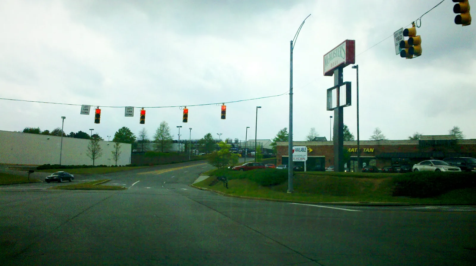
Wildwood is Homewood's big-box shopping district on Lakeshore Parkway at I-65 exit 255, with homes and apartments around it, all zoned for Hall-Kent.
Last checked Oct. 17, 2026. Sources: the city’s comprehensive plan update, the city’s address and school zone map layers, the state’s report card, Zillow Research, the Alabama Department of Transportation and OpenStreetMap.
Wildwood is Homewood’s regional shopping district: big-box stores and offices along Lakeshore Parkway, State Farm Parkway and Wildwood Parkway, on the city’s south side at Interstate 65. Most of its land is commercial, but apartment complexes and a few streets of homes sit around the stores, toward Oak Grove Road to the north and Lakeshore Drive to the east.
What this means for you
- Zoned high school: Homewood High; elementary is Hall-Kent for every address point here.
- Home value: $536,460 in ZIP 35209 in September 2026, according to the Zillow Home Value Index. A few addresses use ZIP 35216.
- Nearest I-65 exit: exit 255, Lakeshore Parkway, under reconstruction through fall 2027.
Part of our Homewood neighborhoods guide.
Where it is
The draft growth and conservation map in the city’s July 22, 2026, comprehensive plan workshop (PDF) names Wildwood, with Green Springs and Brookwood Village, among the “Areas to Transform.” The presentation says those areas are meant for “renewed energy in newly revitalized and reinvented employment centers and regional shopping centers” and for “mixed-use with new upper-story residential, office, or other vertically-integrated uses.” It also lists multifamily complexes in the same sector. The plan is still a draft; the city’s current plan dates from 2007.
On this page the area is the south end of the city’s Wards 2 and 4, south of Patriot Park and the Edgewood streets and west of the soccer park, around Lakeshore Parkway, State Farm Parkway and Wildwood Parkway. It stops at the Forest Brook and Huntington Park streets in ZIP 35226. The residential streets with the most address points are Hardwick Lane, Essex Manor Circle, Forest Ridge Court, Chardonnay Way, Marsey Lane and Queensbury Road. In the city’s address map, 91% of the address points use ZIP code 35209 and 9% use 35216. All are inside city limits.
Schools
Every one of the 274 address points in Wildwood as we drew it is zoned for Hall-Kent Elementary in the city’s school zone layer, checked Oct. 17. Grades are from the state’s 2024-25 report card.
| Level | School | Share of address points | 2024-25 grade |
|---|---|---|---|
| High | Homewood High | 100% | A (94) |
| Middle | Homewood Middle | 100% | A (97) |
| Elementary | Hall-Kent Elementary, 213 Hall Ave. | 100% | A (96) |
Check one address with the district’s school locator map and confirm with residency and enrollment at 205-870-2011. More in our schools guide.
Home values
The typical home value in ZIP 35209 was $536,460 in September 2026, up 6.70% from $502,785 in September 2025, according to the Zillow Home Value Index. For ZIP 35216, which Zillow files under Vestavia Hills, it was $409,889, up 3.56%. The index is a modeled typical value for the middle third of homes in the whole ZIP code, not a sale price, and neither ZIP figure describes Wildwood alone. The citywide Homewood figure was $568,543, up 6.59%. More in our home prices guide.
Parks and trails
- El Paso Wildflower Preserve, a city green space on the south side of the area, as mapped in the city’s green spaces layer.
- The soccer park, 1800 S. Lakeshore Drive, and the Shades Creek Greenway, just east. A new Greenway Pavilion and Christina’s Trail are dedicated at 11 a.m. Wednesday, Oct. 28, there.
- The athletic complex on West Oxmoor Road, just west.
More in our parks and trails guide.
Getting around
- Interstate 65: exit 255, Lakeshore Drive and Lakeshore Parkway, is in the district. The interchange is being rebuilt as a diverging diamond through fall 2027, the Alabama Department of Transportation says; see our road construction guide.
- City Hall: about 4.7 miles from the middle of the area by road.
- Airport: about 11.3 miles to Birmingham-Shuttlesworth International Airport. Both are road distances measured on the OpenStreetMap network with the OSRM routing engine, not drive times.
- Transit: MAX On-Demand rides anywhere in the city limits for $1.50 a trip, booked in the MAX Connect app.
More in our getting around guide.
Groceries and everyday stores
From OpenStreetMap:
- Walmart Supercenter, 209 Lakeshore Parkway
- Sam’s Club, 201 Lakeshore Parkway
- Restaurant Depot, 126 Wildwood Parkway
How we drew this area
Wildwood is named by the draft comprehensive plan map. Its edges here are ours: the part of the city’s Wards 2 and 4 in the city’s five-ward map layer around the Lakeshore Parkway stores, between the athletic complex and the soccer park, without the ZIP 35226 streets. School shares are from every city address point inside those edges, checked Oct. 17, 2026. Store locations are © OpenStreetMap contributors.
Frequently asked questions
Where is Wildwood in Homewood?
On Homewood’s south side along Lakeshore Parkway, State Farm Parkway and Wildwood Parkway, at the Interstate 65 interchange at exit 255. It is mostly stores and offices, with apartments and homes around them.
What school is Wildwood in Homewood zoned for?
Hall-Kent Elementary, for every city address point in the area as we drew it, then Homewood Middle and Homewood High.
What stores are in Wildwood, Homewood?
OpenStreetMap lists a Walmart Supercenter at 209 Lakeshore Parkway, Sam’s Club at 201 Lakeshore Parkway and Restaurant Depot at 126 Wildwood Parkway.
Is the I-65 Lakeshore Parkway exit under construction?
Yes. The Lakeshore Parkway interchange, exit 255, is being rebuilt as a diverging diamond through fall 2027, the Alabama Department of Transportation says.
Have your say